Before moving to Montana I’d only occasionally worried about becoming “lost”, but something about the dearth of trails and traffic and the extent of thick low-elevation forests here has changed that. I’ve been disoriented and wandering several times the past few years, mostly in the Bitterroot, but also in places like the Scapegoat. Problems with route finding are compounded in the spring when early morning ascents on frozen snow surfaces leave nary a print.
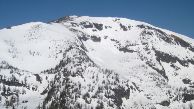
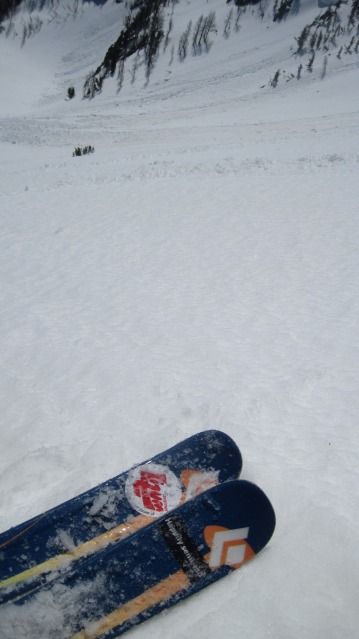
And so it was on Saturday. The descent from St. Mary is tricky because it involves a long, annoying traverse below the main summit ridge. I traversed hard to the skier’s left and wound up on a very steep slope. Looking down I could see a road I assumed was the Lookout Road above where I had parked. I took a visual fix on it before it disappeared into thick forest. The topography bent, however, and fell into narrow ravines, variable snow conditions, and thick downfall. I removed my skis and struggled downhill for more than two hours before finding a slope that had been logged at one point. Knowing that where there is logging there are roads, I followed the logged area straight downhill to the road … which turned out not to have been used in years. I walked the road each way but could only guess on my location. Occasional glimpses to the valley still far below were scenic but of little practical assistance. Not wanting to get more lost, I did what I am sure Lewis and Clark would have done if only they had thought of it: I called the sheriff.
One surprising feature of the mountains here is that you can often ping four bars even on the remotest summit, and since I had been suspecting for several seasons that I would eventually get lost, injured, or otherwise worked, last summer I programmed into my phone the dispatch numbers for various county sheriffs’ offices. Ravalli County dispatch answered after three rings and advised me to call 911. I did, and the same dispatcher answered, but using Enhanced 911 technology was able to pinpoint my location in less than 1 minute. “Well it looks like you are on a road,” the dispatcher said. I was indeed. She gave me rough directions: walk west, then south, then east. I did, and was dumbfounded when after just 35 minutes of power striding I emerged from the forest right at the truck’s passenger door.
I called dispatch back to tell them they would not, after all, need to search for me, peeled off my disgusting ski pants and socks, and drove down the mountain.
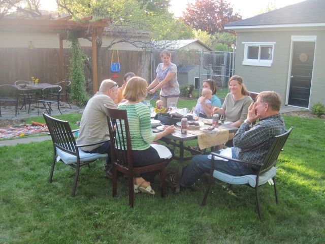
And then we celebrated Mother’s Day.


1 comment:
Seriously?
Post a Comment