(June 2: returning to the scene on St. Mary)
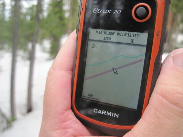
Last week, after my stupid and epic afternoon of lost navigation on the side of St. Mary Peak, I went and dropped $170 on a Garmin eTrex 20 GPS. The eTrex 20 is one model up from the most basic GPS, and while I would have been fine with the cheapie the allure of a color screen was just too great. When I got home and opened the box Laura took one look at it and said, Well that looks like it will be a fun new toy. And she's right, sort of: thanks to triangulation from a passel of overhead satellites I am able, with two pushes of a button, to know my average moving speed and elevation profile and determine the exact size of the lot our home sits on.
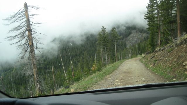
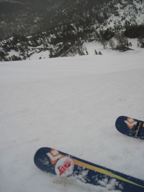
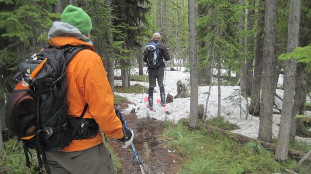
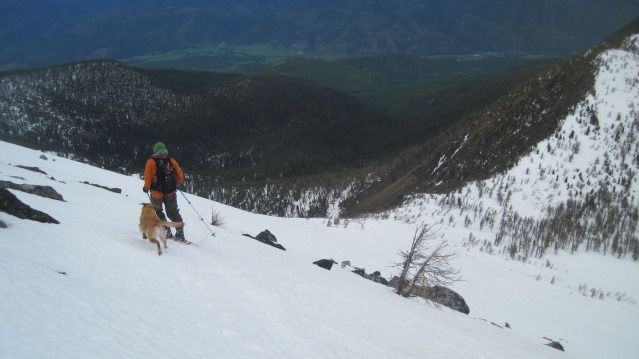
OK, true. But it's also a fascinating and highly accurate way to plot routes and marks. On Saturday, descending St. Mary (again) in a storm, rather than wonder if I was too high or too low in my traverse, I simply whipped the wallet-sized unit out and saw I was about 100 feet too far east. On Sunday, skiing Lolo Peak, Eric and Greg left their hiking boots in a tree at the snowline; it seemed like an obvious spot on the way up but was simply a tree lost in the forest on the way down. Thinking we had passed them, I turned the GPS on and turned around, bushwacked 50 yards uphill, and walked straight to the shoes. Pretty cool, that alien technology.
(Looking for shoes on Lolo)
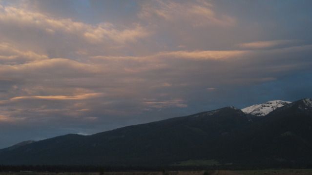
It was interesting to get into the mountains after three weeks away and see the changes spring is bringing. The snow level is creeping up, but snowpacks up high are still good and deep. The mountains picked up more than a foot last weekend and some more during the week. We've had a spate of awful weather, which means I turned attention to the backyard:
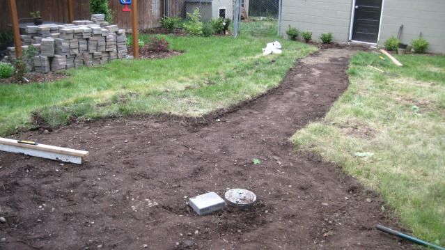
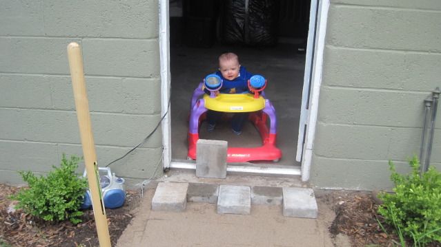
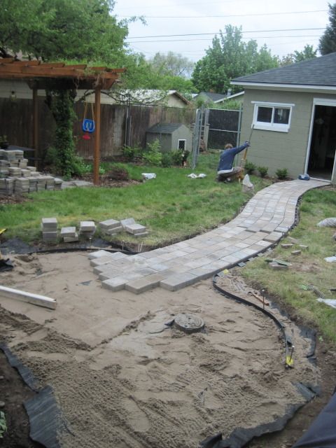
This time I paid good money for someone to break up and haul away a stupid old sidewalk in the backyard, then made four trips to bring back two tons of cobblestone pavers (matches the driveway!). Two days later: back aching, walk and patio done.
No comments:
Post a Comment