The start my tenure as "staff reporter" at the Republic marks the end of 18 months of unemployment which saw our travel to some 26 countries on six continents and address changes that pinned us to four states. The only real downside to my new job is the commute -- it's 45 miles from Missoula to Hamilton.
(Christmas Eve on the commute to Hamilton. The sun rises at about 8:40 a.m.)
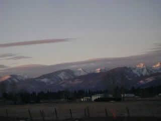
It's probably not fair, really, to call it a commute. A lot of people come here from around the country every year just to see the sights that stand along the road. On my Wal-Mart road atlas, there's dotted blue lines along that section of U.S. 93 -- it's a "scenic corridor." So no, it's not a commute in Houston or Atlanta, that's for sure.
Since Dec. 7 we've had our share of winter weather here. That first week of work it never got above 12 degrees and was as cold as minus 17. After 45 minutes of driving 60 miles per hour you could still see vapor coming out of the tailpipe, and there was a ring of frost and ice around the back of the car where tailpipe vapor had frozen. After the cold we had a foot of snow over three days, then two days of freezing rain, then two days of drizzle, some more snow, and now it's cold again -- it was 3 degrees with a windchill of minus 14 this morning. The Clark Fork and the Bitterroot rivers are freezing over again, and it's getting hard to tell what color cars on the road are. I accidentally brushed against the car yesterday and came away with my side slicked with mud, sand, frozen slush and grime. It's hard to wash your car when it's 8 degrees.
On Wednesday we woke up to snow and I drove Laura to the "Missoula International Airport." Not only were no international flights departing, but I did not even see a plane on the tarmac. In terms of airport activity, it's even sleeper than Asheville Regional Airport was.
Laura went back to Atlanta for the holidays, leaving me and the plott hound to guard the homestead. Most people would be sad to be left alone in a city where they had no friends for a major holiday. I looked at it as an opportunity to get to work on some major projects.
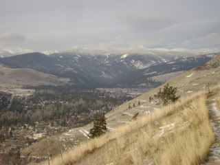
On Christmas Eve I got off work early and the plott hound and I hiked up Mount Sentinel to get a look at our first objective: Stuart Peak. Stuart was a summit I got turned back from in October due to deep snow and recent bear tracks.
(Stuart from Sentinel, Christmas Eve)
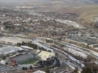
While up on Sentinel we took in the view of downtown Missoula.
(Grizzly Stadium, downtown Missoula, Christmas Eve)
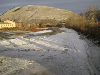
On the way back we stopped by the Clark Fork. After a brief thaw last week, this major river is icing over again.
(Clark Fork backed by Mt. Jumbo)
CHRISTMAS DAY
Two factors impact skiing right now -- the lack of snow at low elevations and the lack of daylight at any elevation. Just a few inches of snow covers the ground at valley level, and the sun comes up well after 8 a.m. and sets well before 5 p.m.
The hike to Stuart Peak began with about 4 miles of this:
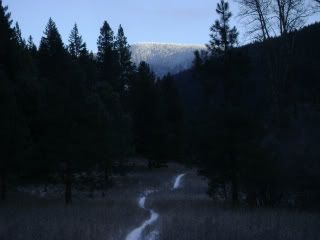
The hike leaves from the Rattlesnake National Recreation Area trailhead about 4 miles north of downtown and heads due north into the adjacent wilderness area. After about three hours
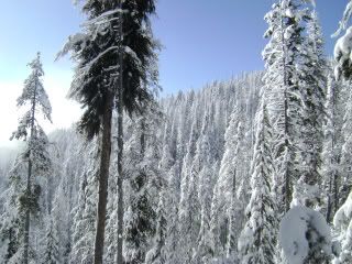
I was up into decent snow and put my skis on. After six hours I was within sight of the summit but still too far away to make an attempt.
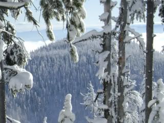
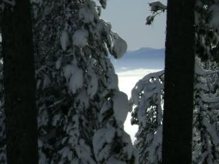
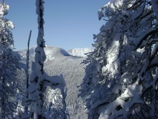
I had a snack, stripped my skins off, and made nice turns in settled powder down to 6,000 feet. From there it was combat skiing in low snow and tall brush, and then a long, long hike in twilight and then darkness.
BOXING DAY
Up early again, I headed south this time, into the Bitterroot. While there is a good network of developed trailheads in the mountains here, most stop at canyon mouths. One that does not is St. Mary's Road, which goes to nearly 7,000 feet on the way up St. Mary's Peak, which sits at about 9,400 feet. (It's important to get perspective here. Treeline is generally around 7,000 to 8,000. At 9,000 feet and higher you find permanent snowfields on north faces).
St. Mary's Road was plowed at the base, but had slick ice for a mile starting at 4,000 feet -- so slick when I got out of the truck to scope the conditions I could not stand up. I parked the truck in the first pullout and walked up the road and past the plowed section.
Three hours later I was here:
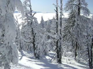
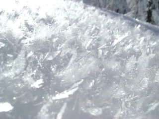
Here I saw some of the largest surface hoar crystals I'd ever seen. These were more than a centimeter in diameter.
I made it to the end of the road and climbed for another 45 minutes before I hit my cutoff time and had to turn around.
(Trapper Peak above the inversion)
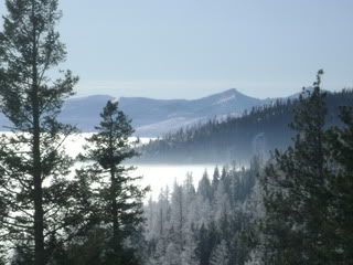
(A look across the valley at the Sapphire Mountains)
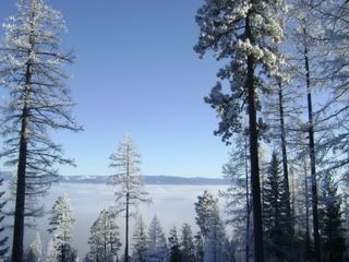
I had a few dozen good turns before the snow surface became a melange of crusts. I idled down the mountain road with the truck in low range and four wheel drive and made it home about 5 p.m.
SUNDAY, DEC. 27
Eager for an easier day, I drove up to Lookout Pass, on the Idaho-Montana border. This pass, at 4,800 feet, sees heavy snow at lower elevations. There was about 3 feet at the pass and 4.5 feet at 6,000 feet.
Here's where the sun sits at 12:45 p.m. Mountain Standard Time:
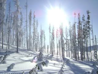
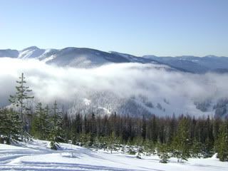
I found very good skiing on light-density snow and edged in a couple of runs. Here's the view from the summit, looking down at Lookout Pass Ski Area and across at the St. Regis Basin:
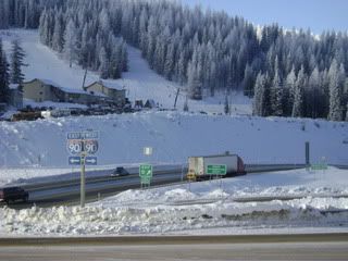
And here's where the run ends, at Interstate 90:
Laura's gone for another week. My project list, meanwhile, continues to grow.
No comments:
Post a Comment