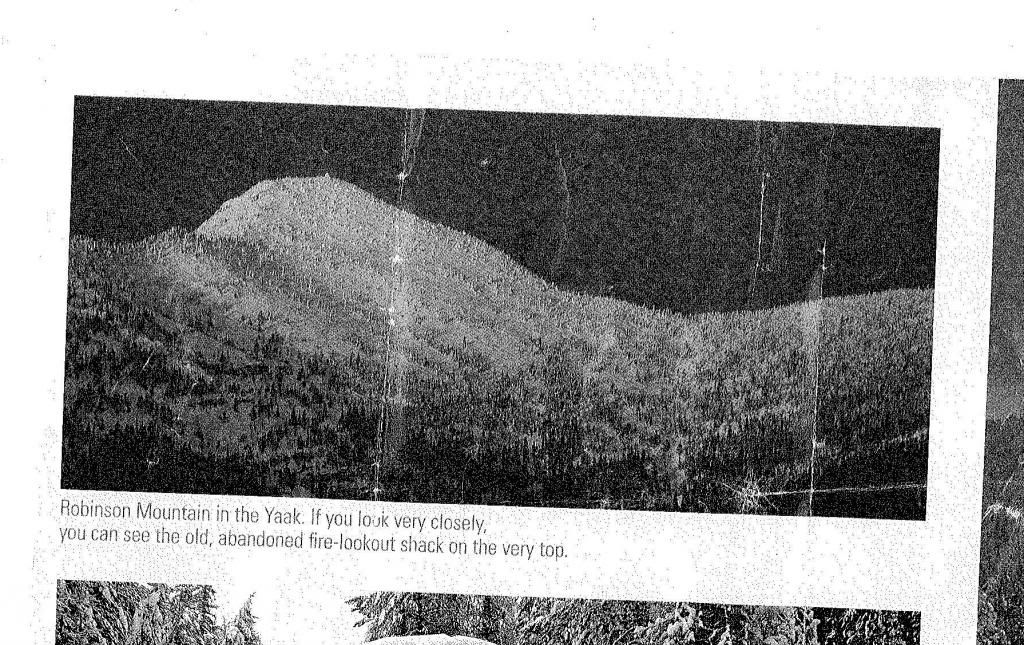
I had never heard of Robinson before. It I kept the magazine open to that photo on my desk, and each day the mountain started looking better.
Robinson Mountain is in the U.S. portion of the Purcells. If the road is plowed the base of the mountain is about a half-hour from Yaak, Montana, which is about an hour from Troy, which is about half an hour from Libby, which is … well you get the picture. Remote. I called the county road supervisor in Troy, who told me that Yaak Highway 92 (yes, that’s what they call it) gets plowed to milepost 52. At the time I did not appreciate the difference between “is plowed” and “gets plowed”, but milepost 52 is almost at the western foot of the mountain.
I talked to my friend Matt, a patroller at nearby Turner, who said he’d never skied it. He referred me to a backcountry skier in Libby, who referred me to a distance athlete in Troy, who referred me to a backcountry skier in Columbia Falls – none of whom had ever skied the mountain. I talked to recreation planners in Thompson Falls, avalanche forecasters in Whitefish and Sandpoint, forest rangers in Troy, Libby, and Rexford, and skiers in Missoula. I talked to nordic club members in Troy and Libby, and a ski shop owner in Kalispell. Nothing. (In each of these conversations I introduced myself then said, ‘This may sound odd, but I’m wondering …’. But it was never odd, and actually that’s how a lot of business in Montana -– which has been called a small town with very long streets -- gets done.) On Friday afternoon as I was about to leave work I got an email from a nature photographer in Libby who said he’d climbed it – in the summer. I clocked out, biked home, packed the truck, made two mocha lattes, kissed the wife and baby goodbye, and set out into a classic two-hour Montana sunset. I drove to Troy, slept in the rest area, and was up at 5:45 Saturday morning to make coffee, eat, and drive to Yaak.
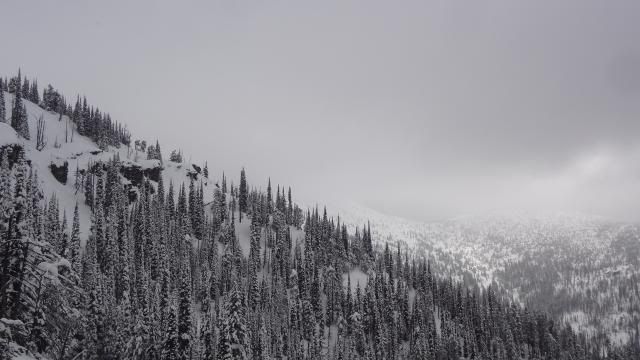
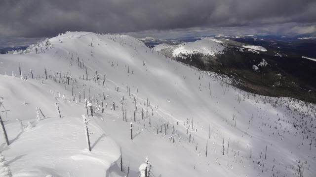
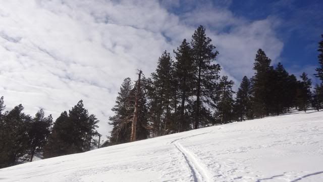
Robinson's summit (lost in cloud) from the southwest ridge -- the first clue that I was on the wrong ridge:
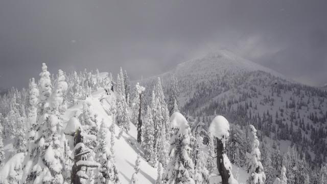
Persevering on the ridge, an hour or so later:
Actually, I talked to the road supervisor in Troy not once but twice and both times he said the road gets plowed to MP 52. I drove through downtown Yaak but found the recent plowing stopped square at MP 42. In four wheel drive I slid on to MP 51, where the road ended in a big drift. I geared up and started skinning the closed road, but was confused a bit, then confused more when I passed a trailhead I had not heard of. I struck off up the slope and was soon engulfed in a two-hour full body contact soul searching bushwhack which ended in a cliff band. I got through the cliff and finally got a view – only to see I was on the wrong ridge and a long way from the top of Robinson Mountain.
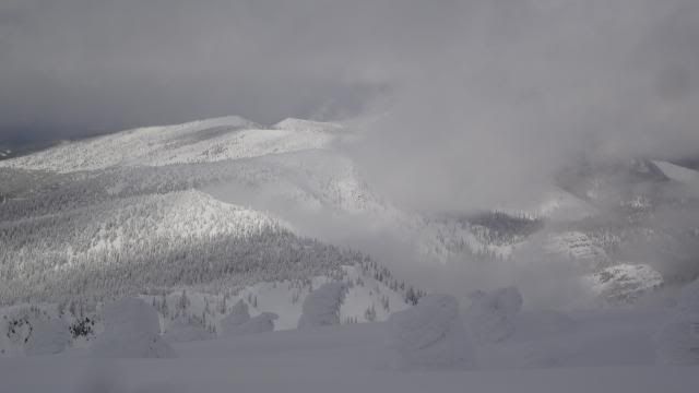
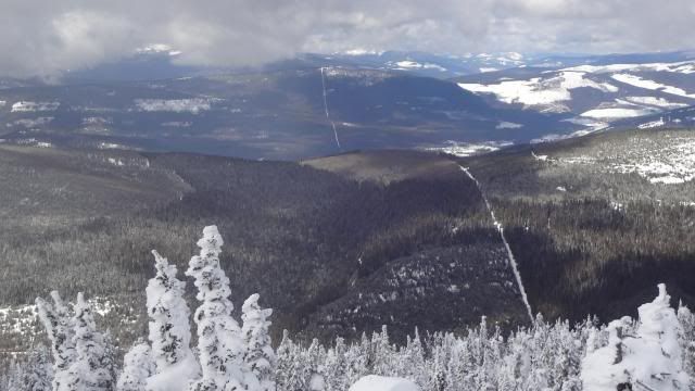
The view north from Robinson:
I made it to the top of Robinson at 2:30 after 5.5 hours of climbing and about 4,000 vertical feet. Was this a first descent? Unlikely, but having talked to so many potential skiers made me wonder who else was left in Montana who could have been up there. The summit was storm ravaged and encased in thick rime. Below the summit in an extraordinary setting I got in 20 turns in soft snow. All four faces of the peak are beautiful, but what had been light snowfall all day was changing, with dark clouds two ridges away; looking at the rime made me not want to be stuck on the summit ridge in a storm, so instead of real skiing I followed my tracks back down (odd how your uptrack can be a comforting friend in the wilderness).
The international cut line -- Canada on the right, America on the left:
For Sunday I had planned to ski Elephant Peak in the Cabinet Mountains; a year-round mine nearby keeps Libby Creek Road open. I called the mine dispatcher and she said I could “probably” make it in four wheel drive (she strung the word so it came out as 'praaaaaabably'), but most mine trucks were using studs or chains. I had checked out a second option, Dome Mountain in the north Cabinet, on the way to Troy Friday night, but in the 9 pm twilight I could not tell where the snow line was (3200 feet, it turns out, but I could not see that at the time). So as a consolation I extended my time in the Yaak and on Sunday pulled down Caribou Mountain, which was shorter, had a trail (and no bushwhack), and had much better snow. Turns off the 6800-foot saddle between the north and south peaks were some of the nicest of the season.
Caribou's northeast bowl:
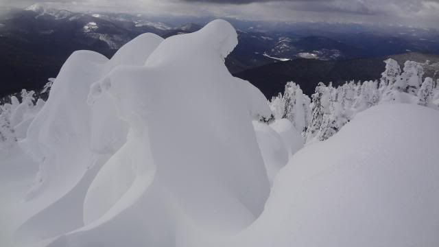
Snow ghosts at the summit of Caribou:
So to all future skiers pondering the Yaak: yes, it’s been done.
Appendix A:
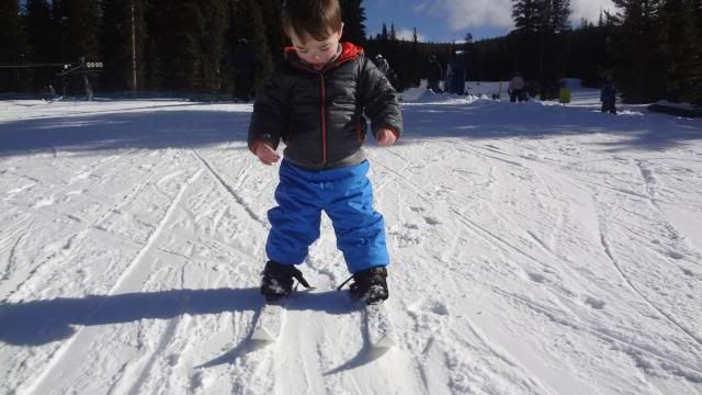
We took the baby skiing:
Appendix B:
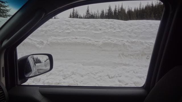
View out the truck window on Lolo Pass:
