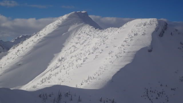
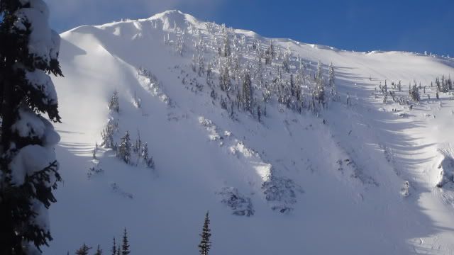
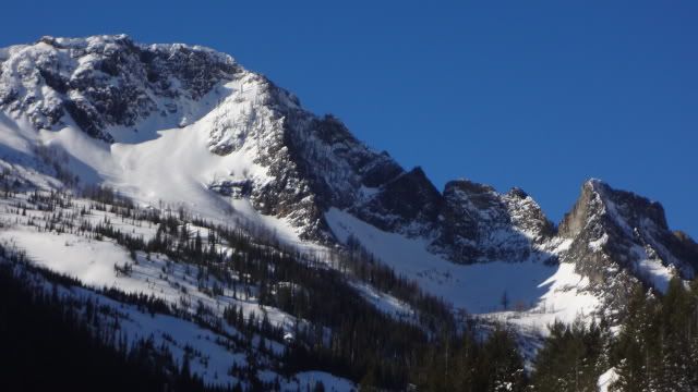
What I call “Sheep Mountain” is visible from most of town and was the subject of a tree-thinning project (I think) some years back, which makes for interesting-looking terrain on the front; maps and satellite suggest more interesting-looking terrain on the back and side, which is the west end of the massive sprawl of a mountain that begins on Wisherd Ridge above the Blackfoot and ends in the Rattlesnake.
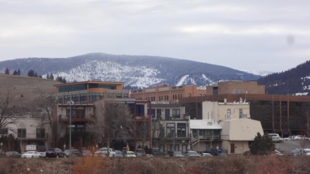
Here’s the mountain in question snapped this morning on my commute. (Yeah, the low elevation snow is looking pretty scrappy.) (If you look closely to the right of the summit there is a smaller, whiter rounded peak -- this is near the summit of Wisherd Ridge (I think) mentioned a few paragraphs down.)
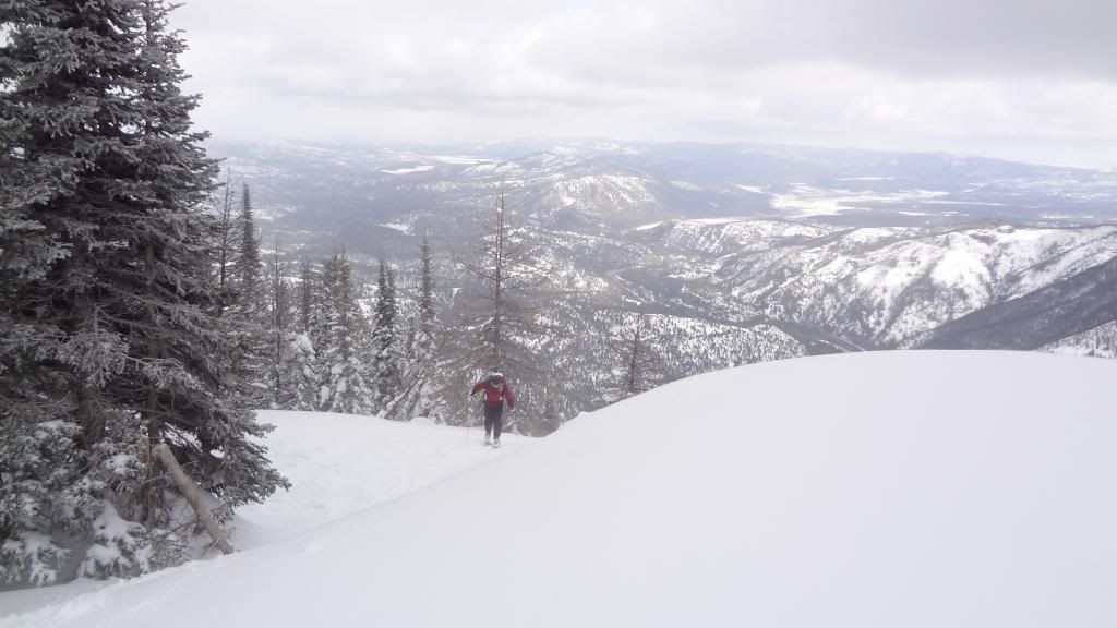
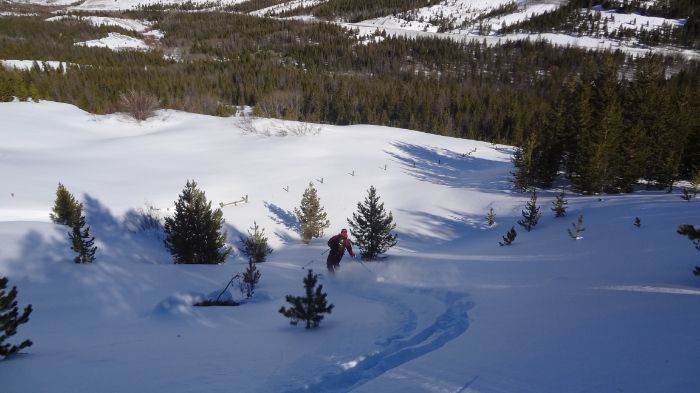
Deciding when to go on these outings is a bit of a juggle. Because there’s a good chance you’ll be wasting your time you don’t want to go on the best day of the season, but also because you want to give the mountain a fair shot at offering decent conditions you don’t want to go on the worst day, either. I rallied early on Saturday, alone because I did not want to subject anyone else to such folly, and found not only very good ski conditions but also a skin track nearly to the summit – so apparently it’s not such a secret after all. I guess if 60,000 other people spend all winter looking at the same thing someone is bound to get up there at some point.
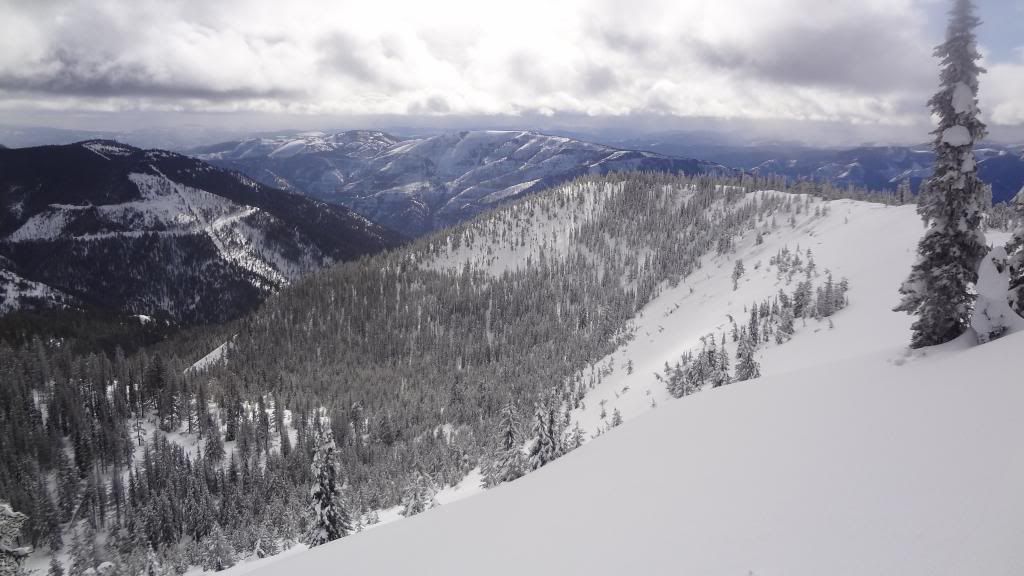
From the top, out to the Sapphire:
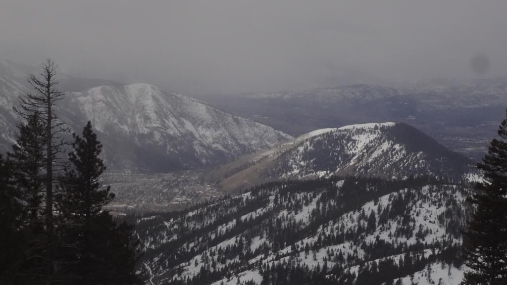
Headed down, a quick snap of Missoula, Jumbo, Hellgate, and East Missoula:
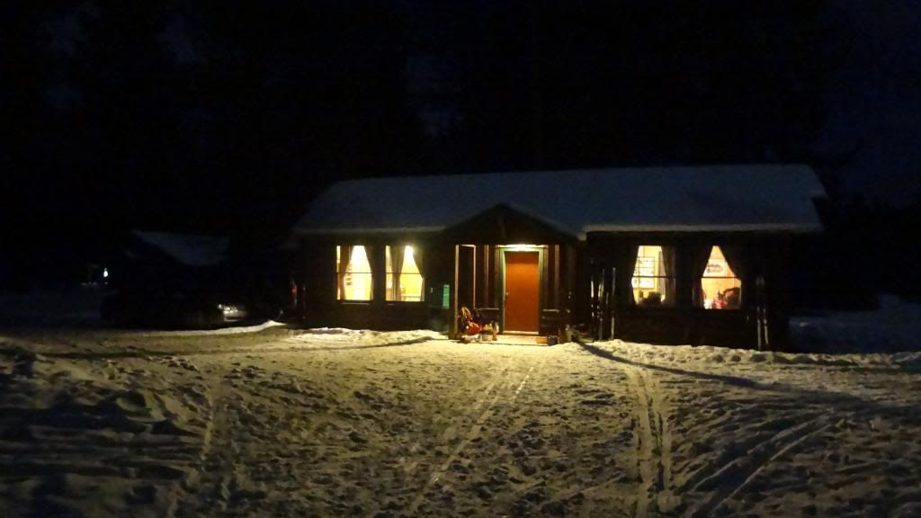
Also not a secret: Lubrecht. Nice night in a “boxcar” cabin and cross-country skiing.
Eric and I went up Wisherd proper on Sunday, making the summit in less than four hours despite feeling awful and a bit of trailbreaking. Definitely not a secret, but oddly vacant on a day of great snow.
